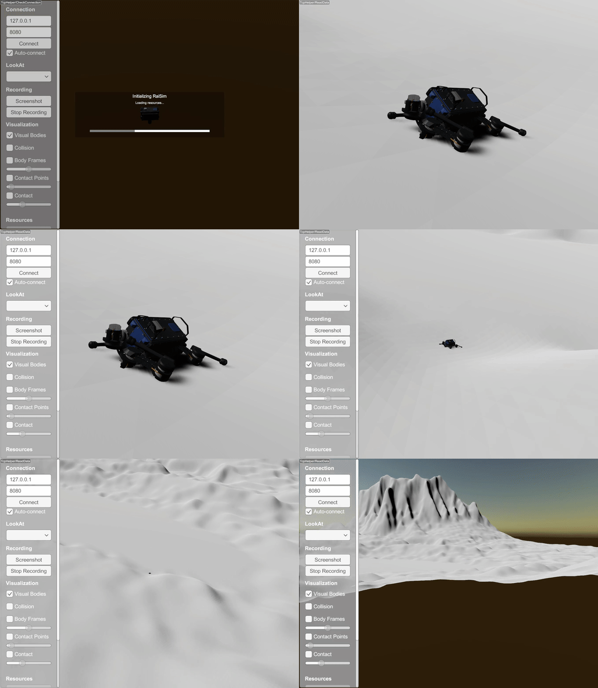
Height Map Using a PNG File

XML Way
Try it yourself with
./xmlReader <PATH_TO_RAISIMLIB>/rsc/xmlScripts/heightMaps/heightMapUsingPng.xml
The xml file is constructed as following:
<?xml version="1.0" ?>
<raisim version="1.0">
    <timeStep value="0.001"/>
    <objects>
        <articulatedSystem name="anymal" resDir="[THIS_DIR]/../../anymal" urdfPath="[THIS_DIR]/../../anymal/urdf/anymal.urdf" collisionGroup="1" collisionMask="-1">
            <state qpos="0, 0, 10.54, 1.0, 0.0, 0.0, 0.0, 0.03, 0.4, -0.8, -0.03, 0.4, -0.8, 0.03, -0.4, 0.8, -0.03, -0.4, 0.8"
                   qvel="0 0 0 0 0 0 0 0 0 0 0 0 0 0 0 0 0 0" />
        </articulatedSystem>
        <heightmap name="terrain" png="[THIS_DIR]/zurichHeightMap.png" xSize="500" ySize="500" centerX="0" centerY="0" heightOffset="-10" heightScale="0.005"/>
    </objects>
    <camera follow="anymal" x="1" y="1" z="1"/>
</raisim>
C++ Way
auto heightMap = world.addHeightMap("<PATH-TO-PNG>/zurichHeightMap.png", 0, 0, 500, 500, 0.005, -10);